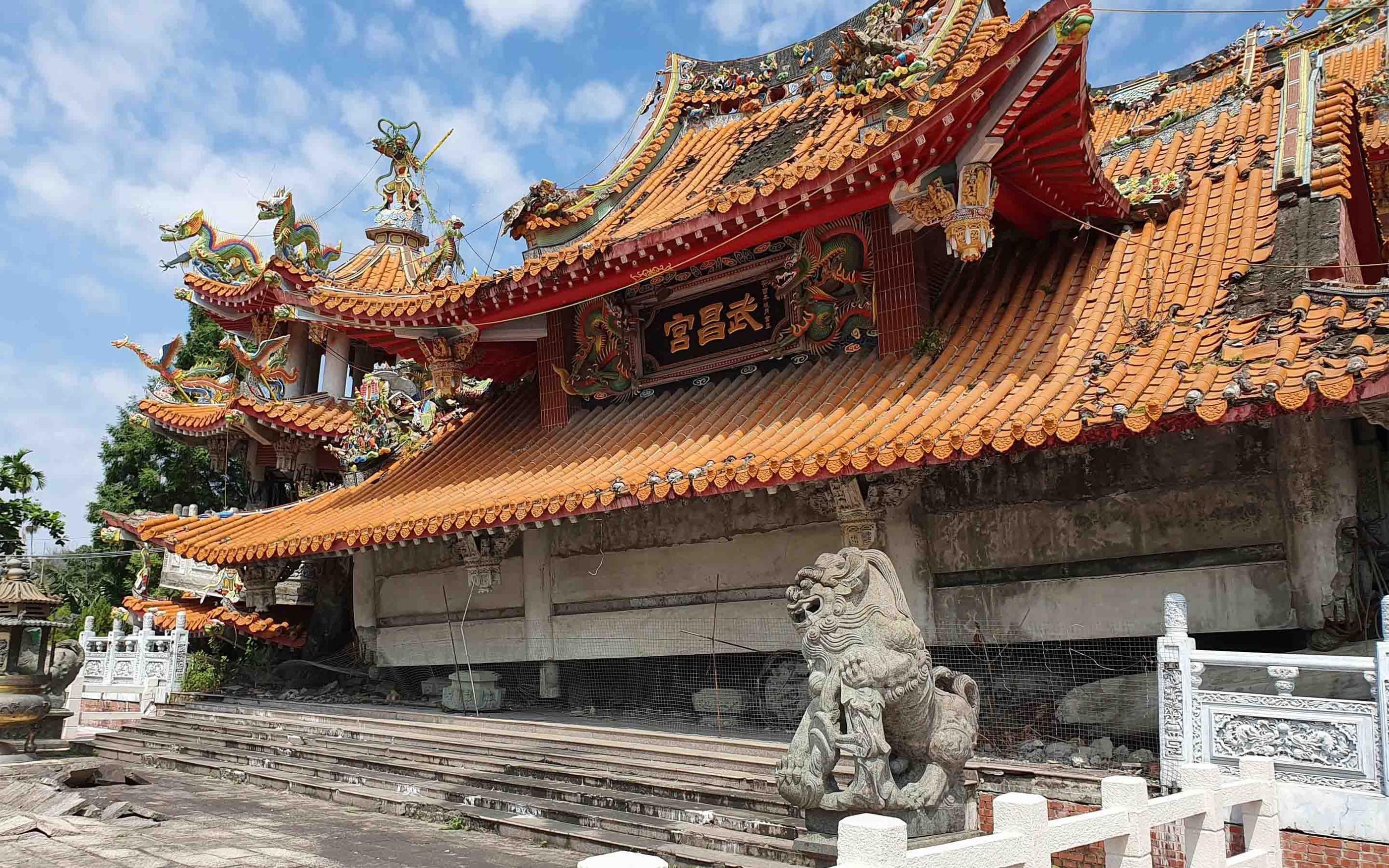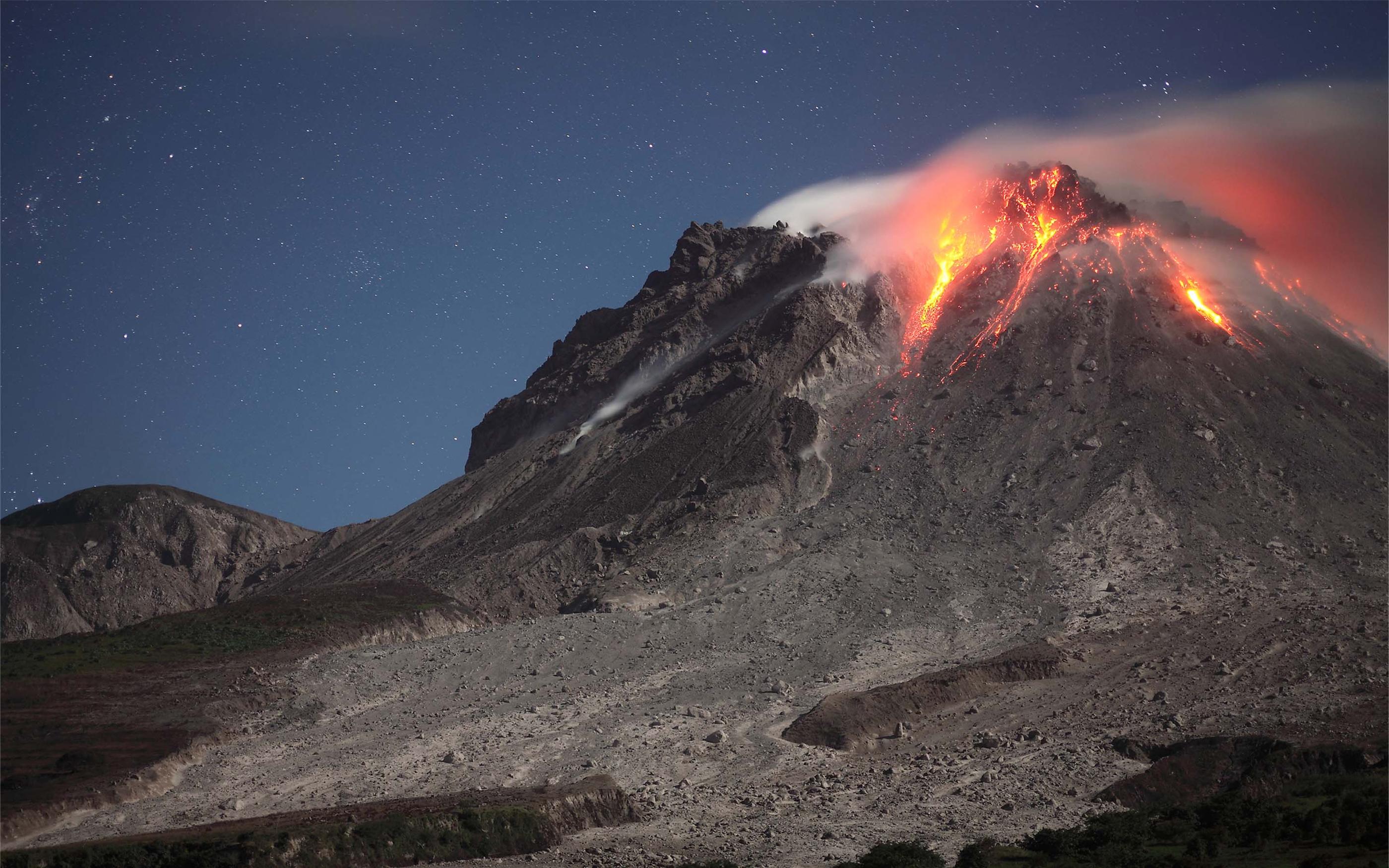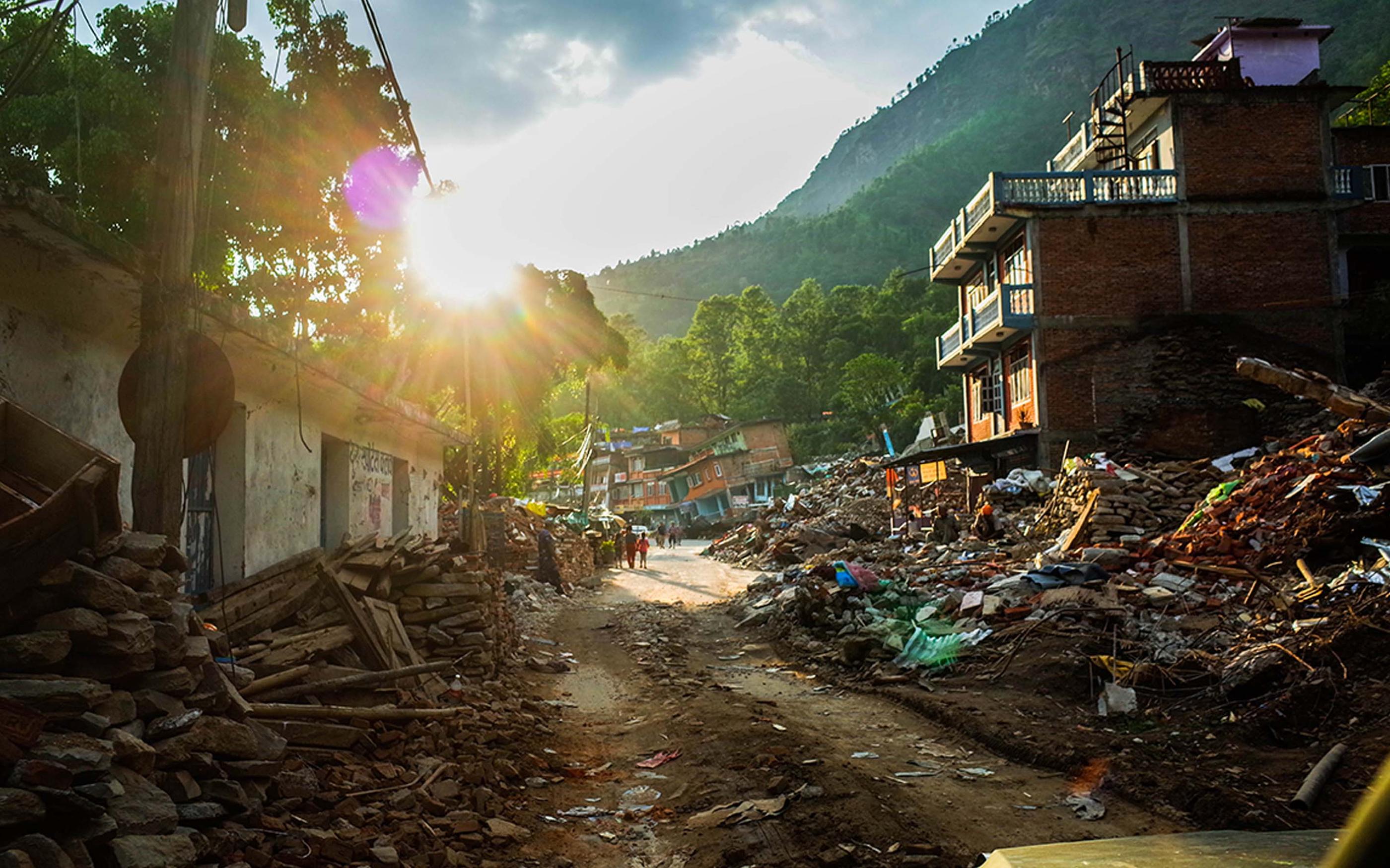


By studying rocks, minerals and landscapes, geoscientists uncover information about the Earth’s evolution, shaping the world we see today. Although this backwards-looking approach has many uses, it doesn’t always address modern challenges in a world shaped by human activity. Here, we discuss geoscientific advances that can help us forecast and mitigate against natural disasters, produce clean energy, and combat the effects of climate change.
Remote earth observation through satellite imagery is an established but continuously improving field.
Geoengineering includes techniques such as seeding oceans to absorb more CO2, or spraying seawater into clouds to reflect solar radiation.
References
- Biggs, J., Anantrasirichai, N., Albino, F., Lazecky, M., & Maghsoudi, Y. (2022). “Large-scale demonstration of machine learning for the detection of volcanic deformation in Sentinel-1 satellite imagery.” Bulletin of Volcanology, 84(12), 100. doi.org/10.1007/s00445-022-01608-x Return to article
- Ridzwan, N. S. M., & Yusoff, S. H. M. (2023). “Machine learning for earthquake prediction: a review (2017–2021).” Earth Science Informatics, 16(2), 1133-1149. Return to article
- TemblorCat (Stochastic Event Set) Return to article
- Gaddes, M., Hooper, A. & Albino, F. (2024). “Simultaneous Classification and Location of Volcanic Deformation in SAR Interferograms Using a Convolutional Neural Network”. Earth and Space Science. 11. doi.org/10.1029/2024EA003679. Return to article
- Esse, B., Burton, M., Hayer, C., Contreras-Arratia, R., Christopher, T., Joseph, E.P., Varnam, M. & Johnson, C., (2024). “SO2 emissions during the 2021 eruption of La Soufrière, St Vincent, revealed with back-trajectory analysis of TROPOMI imagery”. Geological Society, London, Special Publications, 539(1), pp.231-244. doi.org/10.1144/SP539-2022-77 Return to article
- Van Wyk de Vries, M., Arrell, K., Basyal, G.K., Densmore, A.L., Dunant, A., Harvey, E.L., Jimee, G.K., Kincey, M.E., Li, S., Singh Pujara, D. & Shrestha, R. (2024). “Detection of slow‐moving landslides through automated monitoring of surface deformation using Sentinel‐2 satellite imagery”. Earth Surface Processes and Landforms, 49(4), pp.1397-1410. doi.org/10.1002/esp.5775 Return to article
- Haghshenas Haghighi, M. & Motagh, M. (2024). “The growing groundwater crisis in Iran and its impact on land subsidence: A nationwide survey using satellite InSAR”. EGU General Assembly 2024, Vienna, Austria, 14–19 Apr 2024, EGU24-15656. doi.org/10.5194/egusphere-egu24-15656 Return to article
- Rygus, M., Novellino, A., Hussain, E., Syafiudin, F., Andreas, H. & Meisina, C. (2023). “A clustering approach for the analysis of InSAR Time Series: Application to the Bandung Basin (Indonesia)”. Remote Sensing, 15(15), p.3776. doi.org/10.3390/rs15153776 Return to article
- Motagh, M., Haghshenas Haghighi, M., Piter, A., & Vassileva, M. (2024). “Mining-induced subsidence and fault reactivation due to open pit lignite mining in the Hambach region, North Rhine-Westphalia, Germany: Insights from Sentinel-1 based European Ground Motion Service (EGMS) and field surveys”. EGU General Assembly 2024, Vienna, Austria, 14–19 Apr 2024, EGU24-11866. doi.org/10.5194/egusphere-egu24-11866. Return to article
- What is Distributed Acoustic Sensing? Return to article
- Giuliante, B., Jousset, P., Krawczyk, C., Hinderer, J., Riccardi, U., Portier, N., Forster, F., & Mortensen, A. K. (2024). “Subsurface mass modelling at Theistareykir geothermal field, Iceland, using hybrid gravimetry”. EGU General Assembly 2024, Vienna, Austria, 14–19 Apr 2024, EGU24-19542. doi.org/10.5194/egusphere-egu24-19542. Return to article
- Weber, I. & Tischner, T. (2024). “Using Oil & Gas Borehole Data to Unlock the Geothermal Potential of the Dogger Sandstone in the North German Basin”. EGU General Assembly 2024, Vienna, Austria, 14–19 Apr 2024, EGU24-5413. doi.org/10.5194/egusphere-egu24-5413. Return to article
- Gold, D., Heinemann, N., Porjesz, R., Bolton, R., Rhodes, G., Roy, P., Bunker, E. & Booth, M. (2022). “How a Multidisciplinary, Data-Driven Geoscience Approach is Required to Help Achieve the Energy Transition Goals”. First Break. 40. 51-57. doi.org/10.3997/1365-2397.fb2022083. Return to article
- Project explores potential demand for mine water heat Return to article
- Bristow, C. & Buck, L. (2021). “GPR Survey of Storegga Tsunami Deposits, Shetland Islands UK, and Geohazard Discussion”. 1-8. doi.org/10.3997/2214-4609.202152184. Return to article
- Satake, K. (2014). “Advances in earthquake and tsunami sciences and disaster risk reduction since the 2004 Indian ocean tsunami”. Geoscience Letters 1, 15. doi.org/10.1186/s40562-014-0015-7 Return to article
- Purkis, S.J., Ward, S.N., Fitzpatrick, N.M., Garvin, J.B., Slayback, D., Cronin, S.J., Palaseanu-Lovejoy, M. and Dempsey, A. (2023). “The 2022 Hunga-Tonga megatsunami: Near-field simulation of a once-in-a-century event”. Science Advances, 9(15), p.eadf5493. doi.org/10.1126/sciadv.adf5493 Return to article
- Effects of geoengineering must be urgently investigated, experts say Return to article
SOLUTION
WTW Research Network
Related content

Author