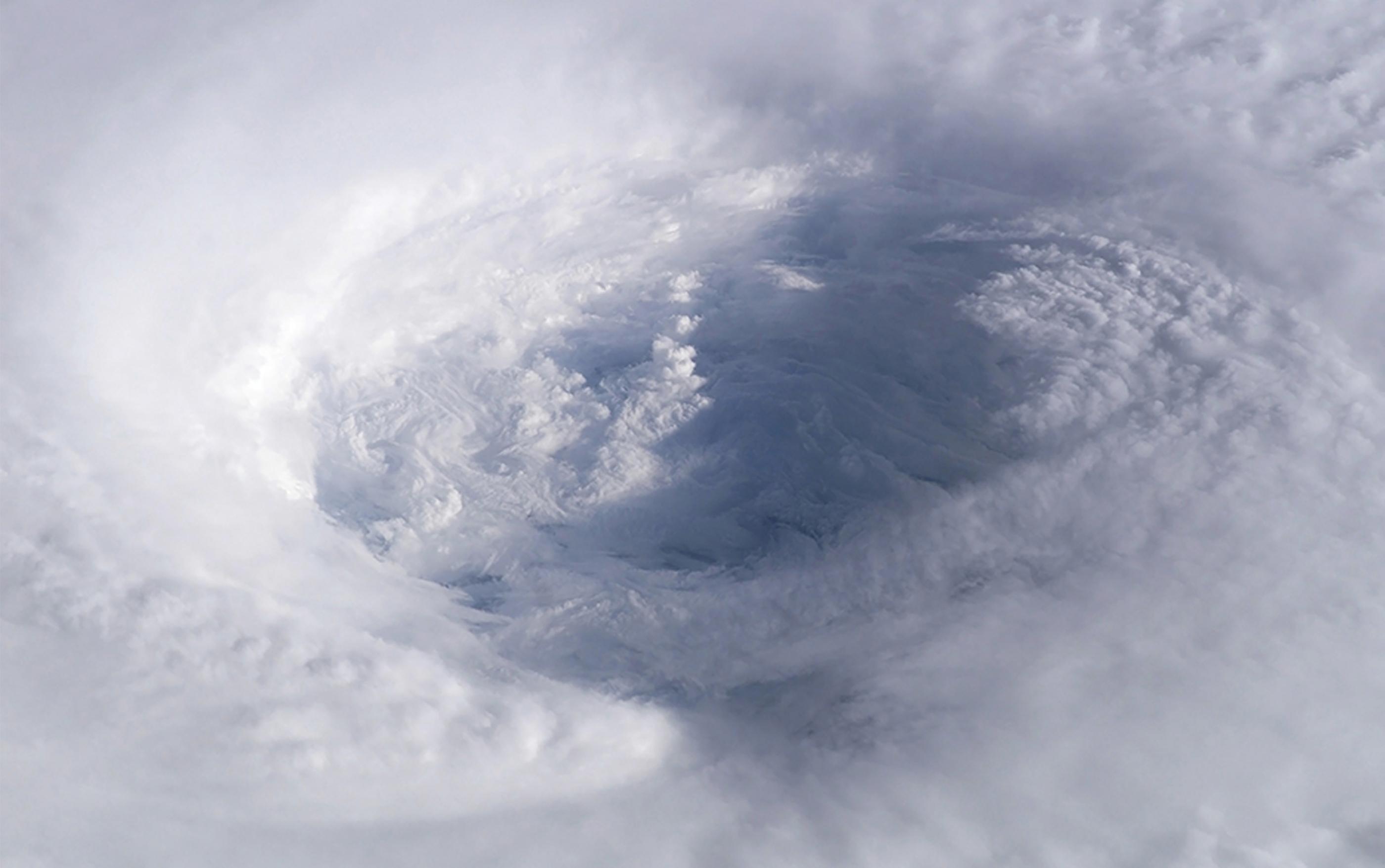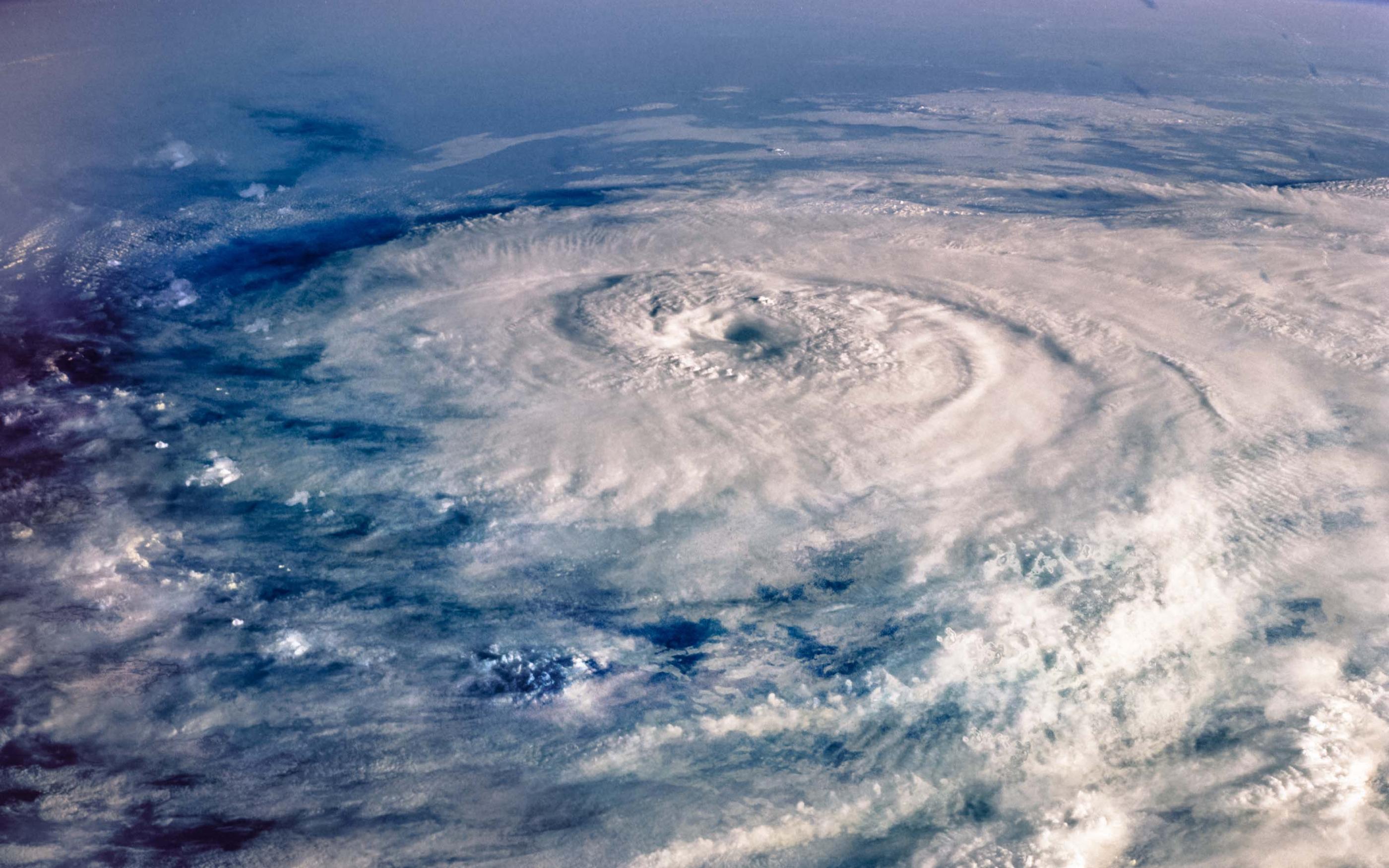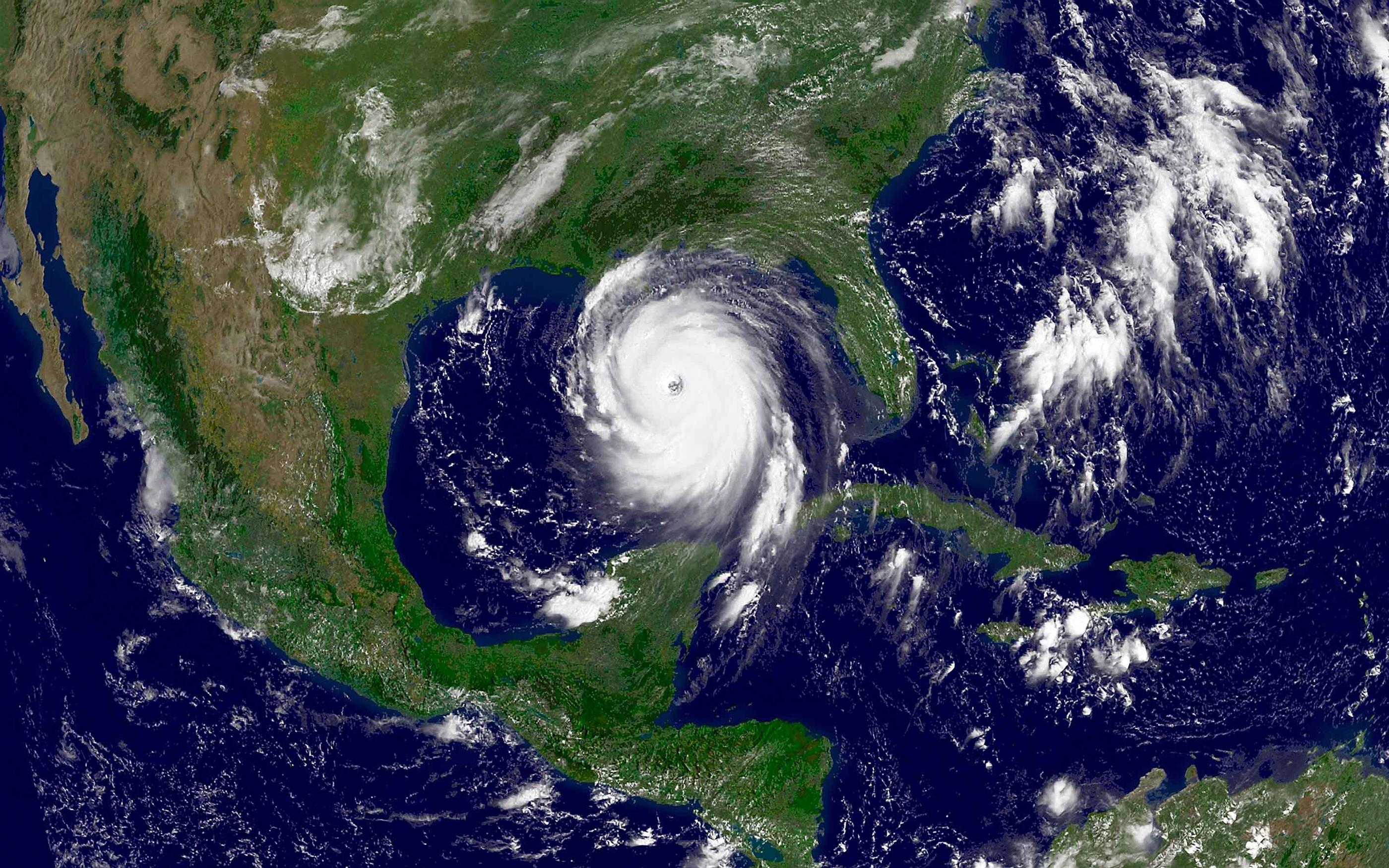


By the time the 2017 Atlantic hurricane season ended on November 30, it had produced 17 named storms, 10 hurricanes, and 6 major hurricanes. Harvey, Irma, and Maria all made landfall as major hurricanes; Harvey and Irma on the US mainland, and Maria in Puerto Rico. This year marked the first time in recorded history that three Category 4 hurricanes made landfall in a single year. It was the busiest season since 2005 when the infamous Katrina, Rita, and Wilma made landfall.
Raw storm counts only tell one part of the story. The 2017 hurricane season stood out not only because of how many storms formed, but how fast three of them intensified into the major hurricanes they were at landfall.
Harvey, Irma, and Maria: a common pattern of rapid intensification
Harvey, Irma, and Maria had very different tracks, made landfall on different coastlines, and produced very different loss profiles. Harvey made headlines for causing major flooding in the Houston metro area, Irma for wind and storm surge across Florida and the Caribbean, and Maria for catastrophic infrastructure collapse in Puerto Rico. What they had in common was the speed at which they all strengthened right before landfall.
Harvey intensified from a 35-mph disturbance to a 130-mph major hurricane in roughly two days as it approached the Texas coast. Irma underwent two separate rounds of rapid intensification in the open Atlantic, then held peak 185 mph winds for 37 hours (a world record for sustained intensity at that strength). Maria was the most extreme case: it strengthened from 50 mph to 160 mph in about a day, a jump that forecasters described as “explosive”, before striking Dominica and then Puerto Rico at near-peak intensity.
Rapid intensification, a wind speed increase of at least 35 mph in 24 hours, happened to four Atlantic storms that year, and three of those four made landfall. The storm people prepared for on Monday was not the storm that arrived by Thursday.
Why rapid intensification is a forecasting weak point
Track forecasts have improved steadily for decades, but intensity forecasting has not kept pace, and rapid intensification is largely the reason why. Rapid intensification remains one of the hardest problems in operation meteorology: most of the atmospheric and oceanic conditions that trigger a sudden jump in strength are difficult to observe and harder to model at the resolution needed to catch them in advance.

20 years of the Willis Research Network

Related insights
For the (re)insurance industry, the challenge of forecasting rapid intensification has direct consequences. A storm that intensifies rapidly close to shore compresses the window for evacuation, loss mitigation and claims preparation. It also stresses the assumptions built into catastrophe models, which have historically had an easier time capturing a storm's track than its terminal intensity at landfall, one of the primary loss drivers.
The research groundwork: hurricane intensity at NCAR
The Willis Research Network has been working on this for years through its partnership with the National Center for Atmospheric Research (NCAR). James Done, a Willis Research Fellow based at NCAR, has built an active research program specifically on changes in hurricane frequency, intensity, and societal impact.
The clearest evidence of that focus predates 2017 by four years. In a 2013 study partly supported by the Willis Research Network (WRN), NCAR scientists Greg Holland and Cindy Bruyère built an index to isolate the anthropogenic warming signal in tropical cyclone activity. They found no significant signal in overall annual storm counts but did find a strong one in storm intensity. The proportion of Category 4 and 5 hurricanes had increased by roughly 25–30% per degree Celsius of global warming, and that increase was balanced by a nearly matching decline in the proportion of Category 1 and 2 storms producing a distinctly bimodal intensity distribution rather than a smooth spread across categories. In other words: not more storms, but a growing split between weak ones and extreme ones, with the middle thinning out.
From moderate storms to tail risk
The bimodal pattern Holland and Bruyère identified in 2013 hasn't gone away; it has sharpened into a specific argument about where rapid intensification is pushing the whole risk distribution. In a piece published earlier this year, Scott St. George, head of Weather & Climate Research for the Willis Research Network, and James Done argued that the more consequential shift in Atlantic hurricane risk isn't the total number of storms forming each year, it's the disappearance of the "moderate" hurricane. A warmer ocean and a moister atmosphere make rapid intensification likely, and rapid intensification is precisely the mechanism that skips storms past the mid-range categories and into Category 4 and 5 territory. Fewer storms stall out as moderate events; more of them punch straight through to the tail, with direct implications for how insurers think about accumulation and reinsurance strategy.
In 2025, Hurricane Melissa demonstrated that the same processes remain highly relevant. As discussed in the WRN Natural Catastrophe Review, Melissa underwent explosive intensification in 2025, strengthening from a Category 1 to 5 event within two days before making landfall in Jamaica in late October. Its behavior echoes what Harvey, Irma, and Maria showed in 2017: as the North Atlantic continues to warm, the conditions favorable for rapid intensification are lasting later into the year, extending the window during which the most destructive hurricanes can form.
Nearly a decade later, the 2017 season remains a defining example of how rapid intensification can transform hurricane risk and challenge traditional approaches to forecasting and insurance planning.
Key takeaways
- 2017 was the busiest Atlantic hurricane season since 2005, and the first on record with three Category 4 landfalls in a single year.
- Rapid intensification, not storm count, was the defining trait of the season: Harvey, Irma and Maria all underwent dramatic, hard-to-forecast strengthening in the day or two before landfall.
- WRN-backed research at NCAR had been focused on hurricane intensity for years before 2017, and that same research thread remains directly relevant to how the market thinks about tail risk today.
Authors

In 2025, Hurricane Melissa demonstrated that the same processes remain highly relevant.