main content, press tab to continue
Article | WTW Research Network Newsletter

Earth Observation – Understanding the lie of the land?

Is space the final frontier for fraud?

By Neil Gunn | May 20, 2025

Nearly 70 years since Sputnik, satellites have revolutionized how we observe and understand our planet. With our increased reliance on remote sensing data, its integrity cannot be taken for granted.
Aerospace|Risk and Analytics|Willis Research Network
Artificial Intelligence

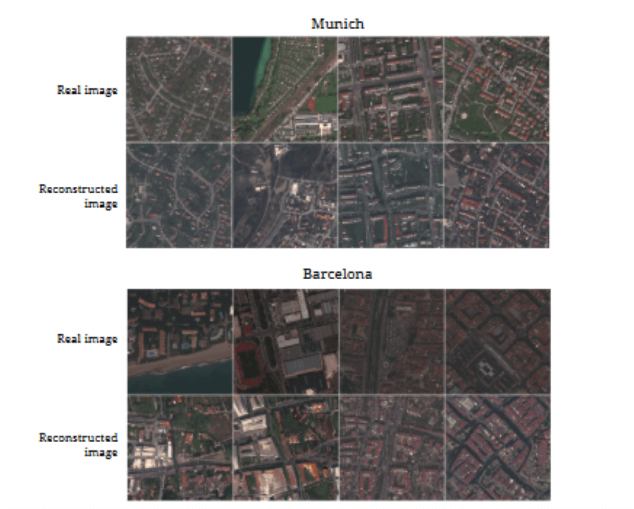
Earth Observation (EO), also known as remote sensing, has elevated our understanding of planetary systems on land, in the atmosphere and oceans. In addition, the ability to monitor continuously helps to track pollution and improve the chances of achieving sustainable development goals.

Users and their needs

Broadly EO applications in the insurance industry have one of three purposes:

  • Assessing risk: for example, global flood models rely on a good understanding of ground heights to build digital terrain models and establish where water will go during floods, and where buildings are to better understand exposure; one of our research partners recently detected where previously undiscovered geological faults may be lying dormant.
  • Warning and forecasting: for example the NASA Jet propulsion laboratory Cyclone Global Navigation Satellite System (CYGNSS) relies on reflected global positioning signals to measure sea surface wind speeds and rain fields to infer information about hurricanes and improve forecasts. 
  • Understanding impact: platforms like the EU Sentinel systems are used to understand the impacts of natural catastrophes by mapping damaged infrastructure, buildings and flood extents. A parametric solution protecting coffee farmers in Vietnam[1] uses satellite data to measure rainfall levels.

Having satellites was once the preserve of a few nation states. This has changed markedly, the number of private operators and platforms orbiting the earth is increasing at a breathtaking rate: according to United Nations Office for Outer Space Affairs, there are over 20,000 satellites in orbit[2], and industry projects between 30,000 and 60,000 more by 2030.[3]

The iron triangle: complex trade-offs

It is useful to consider what can be measured and how. There are a wide range of sensors, some are passive, collecting ambient information, others actively transmit signals and derive information from reflected returns. A well-worn phrase in the space industry is that you can do missions fast, cheap or good, but you must pick two of these things and accept you are unlikely to get the third.

A key parameter of any measurement is the resolution of the information which can be collected, that is the smallest thing which the sensor can distinguish. Somewhat predictably the higher the resolution, the higher the costs.

Finally, in this whistle stop tour of EO, one must consider the time between observations. Depending on the orbit and, whether the satellite is a loner or part of a constellation ringing the planet changes the time between visits. The best sensors are expensive and therefore there are fewer platforms. Visits could be 12 days apart, with the potential to miss a sizeable flood event. Constellations, with one or more sensors overhead at any time, offer the prospect of tracking how an event unfolds and might help analyse the evolution and causes of events in temporal if not spatial detail.

The importance of remote sensing data integrity

We live in an age of change; the interconnected nature of the world facilitated the Bangladesh Bank cyber heist in 2016. An attempt was made to steal nearly $1 bn, in the end the perpetrators got away with less than a tenth of their haul, but this demonstrates the spectacular size and sophistication of the approaches which fraudsters are capable of. In another incident a senior employee, believing he was in a video call with senior company representatives, transferred $20 million to fraudsters. One might anticipate that it would be possible to combine AI with EO to open potential to new avenues for fraud.

With the rise of digital tools that can effectively alter or make up imagery to a degree where we cannot tell whether it is real or not, having a way to verify the source and integrity of an image will become an important requirement in data management. Remote sensing data is not immune to such tampering, new areas can be generated, existing areas could be shown as flooded or burned.

Images comparing the real aerial view with that of AI for Munich and Barcelona. Simulations can change boundaries, whether an area has been flooded or burned.[1]
[1] Generation and Manipulation of Earth Observation Images for Modeling and Augmentation Ron Hagensieker1, Tomas Langer https://tinyurl.com/3ax262jn
Figure 1: AI Faked images of cities. Among other things, simulations can change boundaries, whether an area has been flooded or burned.[4]

It can also be problematic to know which platform imagery and post processed products have been derived from. A risk for a consumer is that the provider of information could be responsible for the fake data/info or not even aware of the fake content. When information is processed online in a machine learning workflow where it is possible to introduce noise or fake information, no one would ever really know.

Often insurance contracts are structured around specific EO providers, sometimes downtime means that a provider of imagery may fill in gaps with lower resolution information. It is important to know what you are looking at as this affects confidence in what the sensor is saying is happening on the ground.

Space Added Value

WTW is supporting a European Space Agency project called HeManEO, which aims to transform collection and processing of EO data into a reliable product for diverse business clients, ensuring trustworthiness and compliance with auditing and legal standards. It targets organizations in big corporations, financial sectors, and risk management, addressing evolving environmental, social, and governance regulations. The system is platform agnostic, integrating a Digital Authentication and Traceability Service (DATS) engine to provide end-to-end authentication from data collection through post processing to a user’s desk. This ensures data security, compliance, immutability, and nonrepudiation, adding value to EO data.

The Willis Research Network has been advising how the system can be integrated into day-to-day risk management workflows and become a normal part of procedures from insurance placement through to claims handling. The next phases will be focusing on pilot cases to demonstrate the value of end-to-end validation of remote sensing data.

References

  1. Willis and Global Parametrics deliver new parametric solution to coffee farmers in Vietnam Return to article
  2. Cumulative number of objects launched into space Return to article
  3. The future space environment UK National Space Operations Centre, UK Space Agency, Ministry of Defence Return to article
  4. Generation and Manipulation of Earth Observation Images for Modeling and Augmentation Ron Hagensieker1, Tomas Langer Return to article

Author


Head of Flood & Water Risk Research
email Email

Contact us